

Rain or Shine,
Adventure Awaits
A wealth of activities for all ages up and down the Crystal Coast. Filter by type of activity or by indoor/outdoor below, or just scroll from the house outward. Card titles link straight to each place’s website where one exists.
A Fort Built to Guard the Inlet
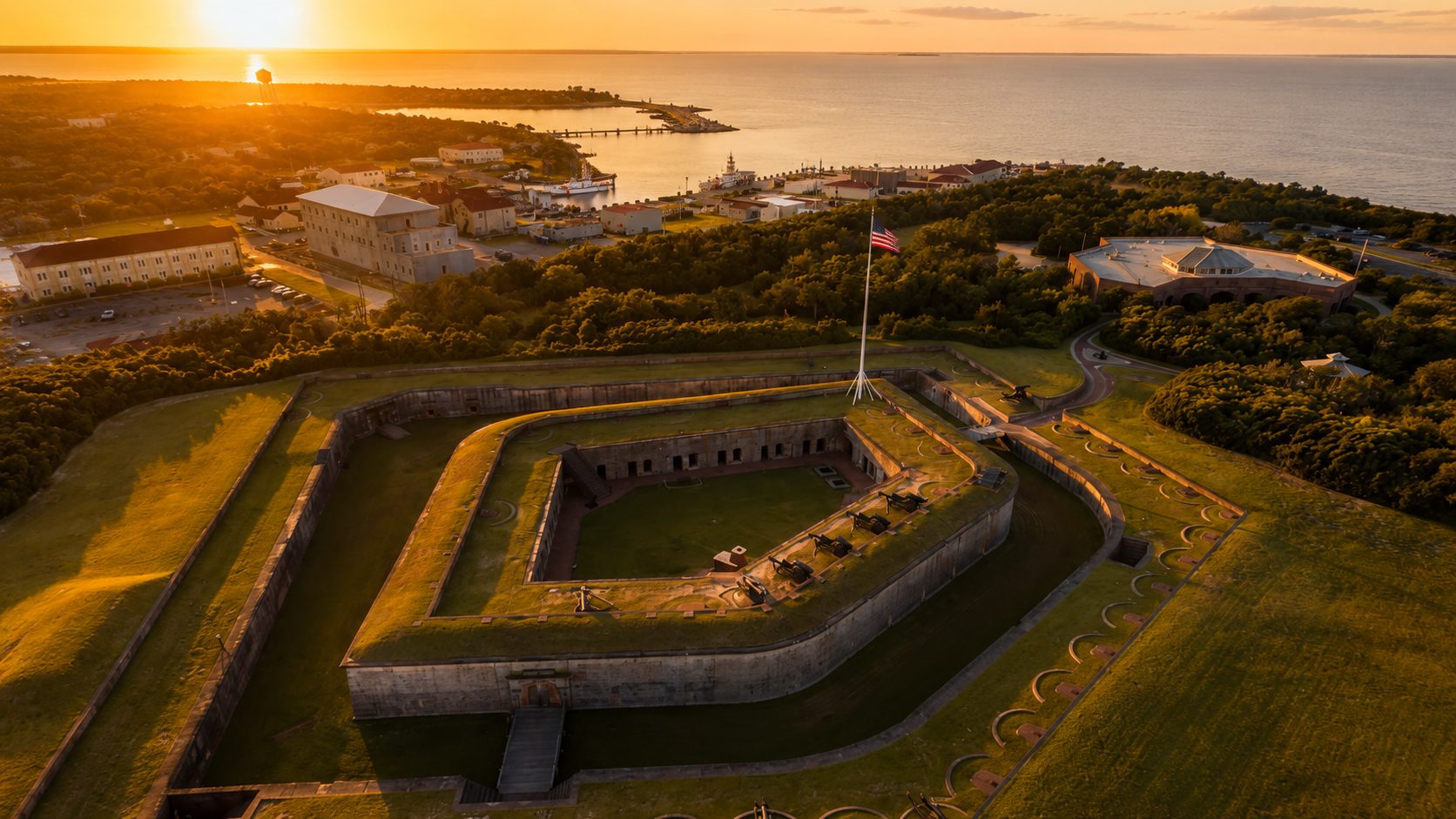
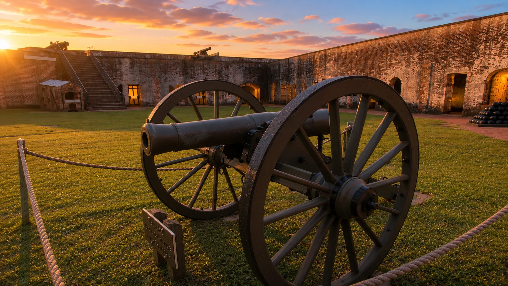
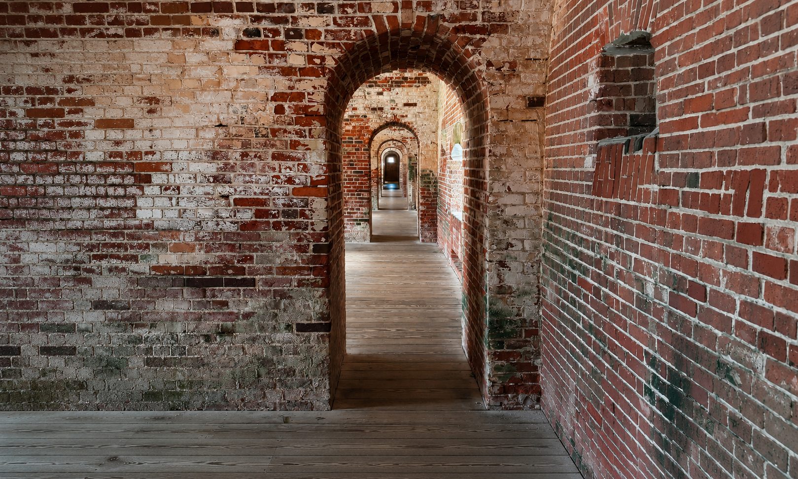
Construction began in 1826 and wrapped up eight years later in 1834, part of the Third System of coastal fortifications the country built after the War of 1812 to defend its major harbors. Fort Macon's job was Beaufort Inlet, North Carolina's only deepwater port at the time, and it's named for Nathaniel Macon, the state's long-serving U.S. senator. What went up is a five-sided fort of brick and stone, 26 vaulted casemate rooms behind walls four and a half feet thick.
The fort saw its only real battle during the Civil War. North Carolina militia seized it in April 1861; Union forces took it back a year later after an eleven-hour bombardment in the Battle of Fort Macon, and the pockmarks from that shelling are still visible in the brick today. The Army kept a caretaker on site on and off into the early 1900s, reactivated the fort briefly during World War Two, then sold the whole thing to the state for one dollar in 1924. It opened as North Carolina's first state park in 1936, and it's been one of the most visited ever since.
The Fort & Museum
Self-guided tours run daily through the casemates and up onto the ramparts, and the small visitor-center museum has a short history video, Civil War-era artifacts, and exhibits on the fort's construction and the coast beyond it. Ranger-led tours and cannon or musket demonstrations run seasonally. Plan on 45 minutes to an hour for the fort itself, more if you linger.
Getting There
- To the park boundaryAbout 0.7 miles, whether you go by beach or by road, roughly a 14-minute walk.
- To the fort itselfThe fort and its parking lot sit at the far tip of the park, connected the whole way by trail. Total distance from the house is about 2 miles, roughly a 40-minute walk.
- By bikeAbout 3–4 minutes to the park boundary, 10–12 minutes on to the fort.
- By carAbout 5 minutes straight to the fort's own parking lot. Free parking, but the lot fills early on summer days.
Park Grounds
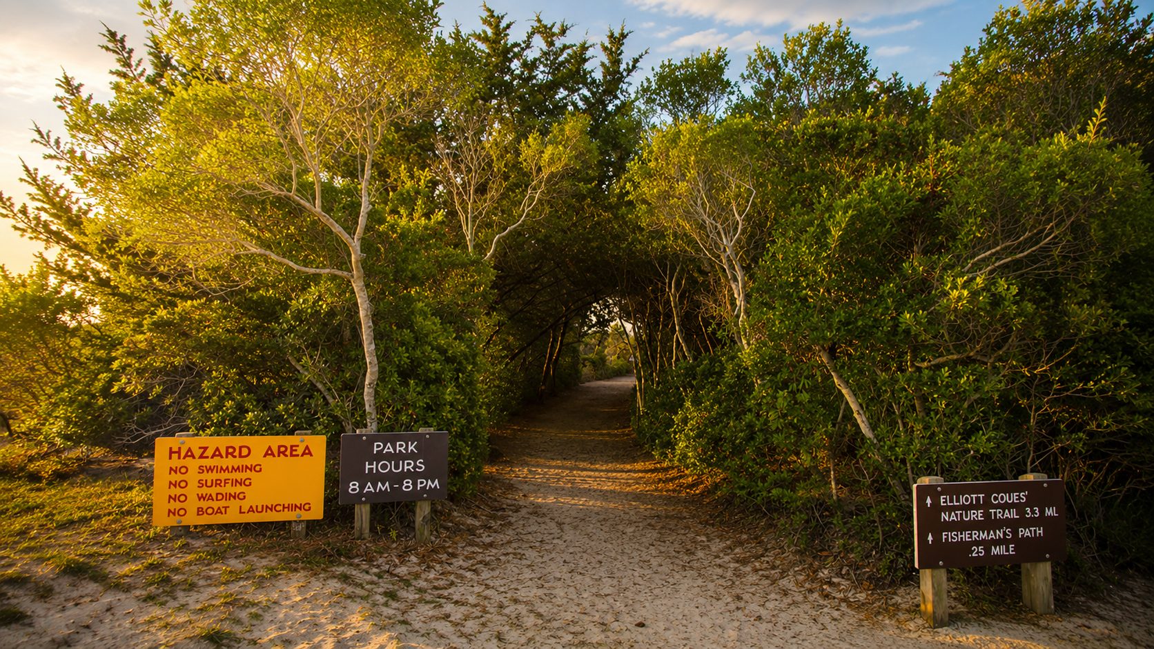
Open 8am–8pm daily, year-round.
Fort & Visitor Center
Open 9am–5pm daily, closed Christmas Day.
Admission
Free, always. No tickets, no reservations.
Trails & Beach
Nearly 5 miles of trail and open beach combined.
Trails
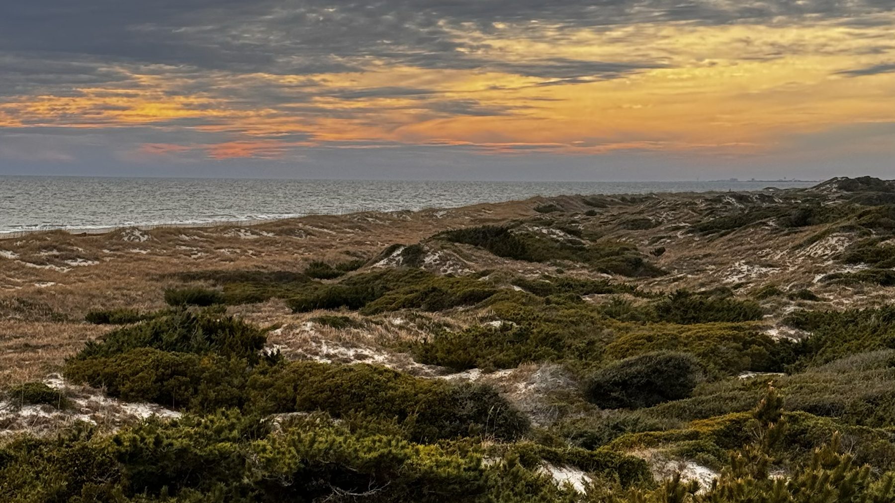
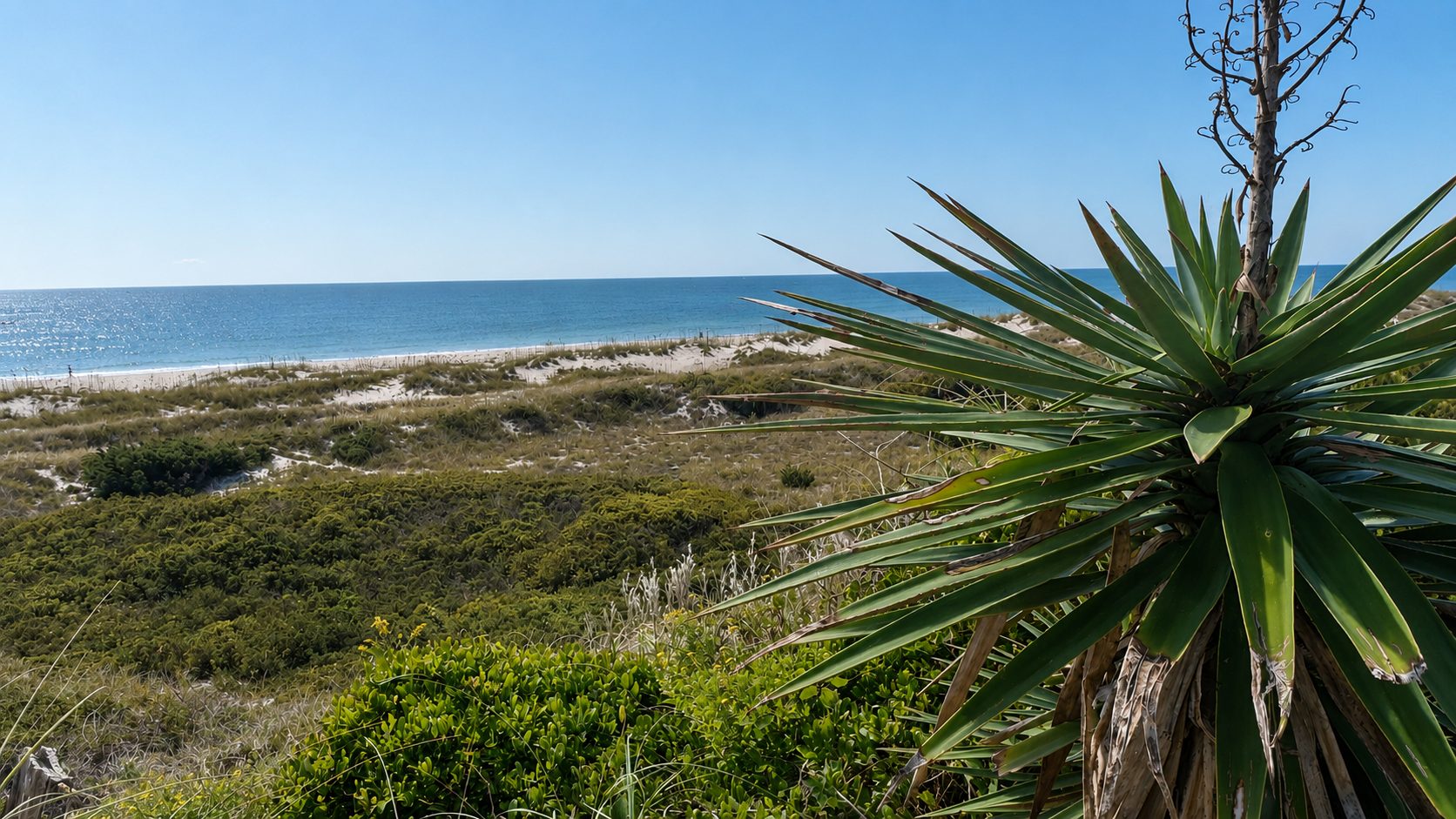
Yarrow's Loop is an easy quarter-mile interpretive walk from the fort's parking lot. The Elliott Coues Nature Trail loops 3.2 miles through maritime forest, marsh, and dunes, open to hikers and cyclists, with boardwalks over the wet spots.
Beach Access
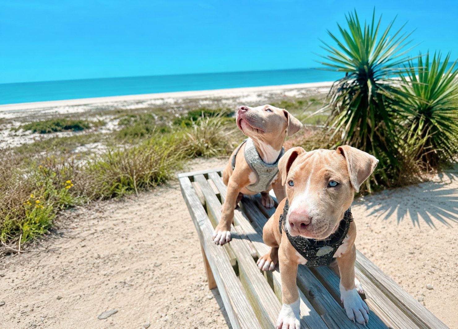
A lifeguarded swim beach in season, plus over a mile and a half of open shoreline for surf fishing and beachcombing. Leashed dogs are welcome on the trails and open beach, though not inside the fort, swim area, or bathhouse.
The Jetty
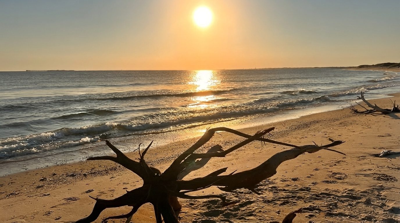
At the fort's eastern tip, a rock jetty marks Beaufort Inlet, a good spot to explore tide pools at low tide and watch the boat traffic headed in and out of Beaufort Harbor. Over 300 bird species have been recorded in the park.
Picnic Areas
Covered shelters near the bathhouse keep the sun and rain off, with picnic tables, grills for cooking the day's catch, drinking water, and restrooms close by year-round.
Diamond City, and What Came After
From the early 1700s until 1899, the eastern end of Shackleford Banks was home to Diamond City, a whaling and fishing village of a few hundred people, named for the diamond pattern painted on the nearby Cape Lookout Lighthouse. Then, on August 17, 1899, a Category 3 hurricane known as San Ciriaco swept over the island, wrecking homes, ruining the wells, and salting the gardens. By 1902 the last residents had gone, many hauling their actual houses across the sound to Harkers Island, Salter Path, and the Promise Land neighborhood of Morehead City. Diamond City is remembered today as the only community in North America never rebuilt after a hurricane.
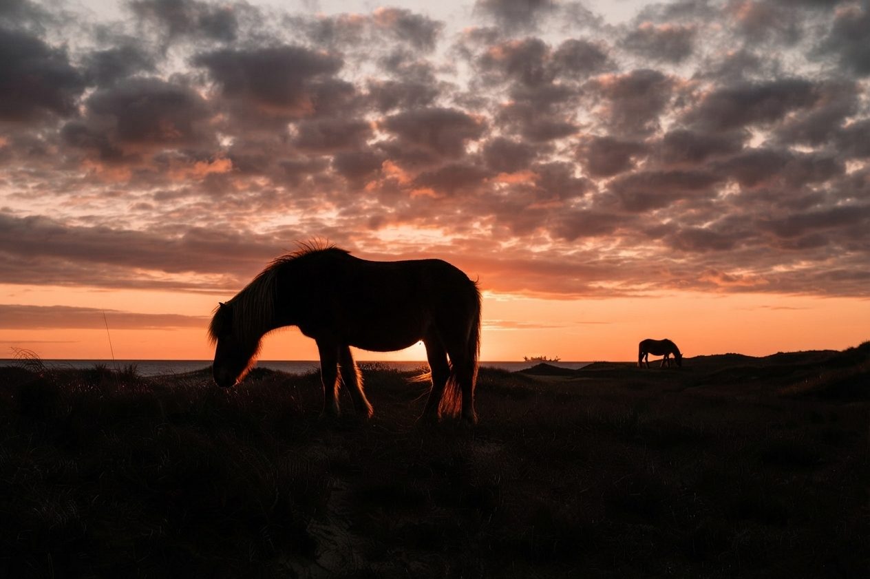
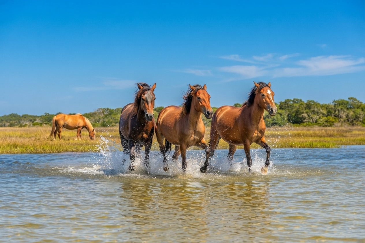
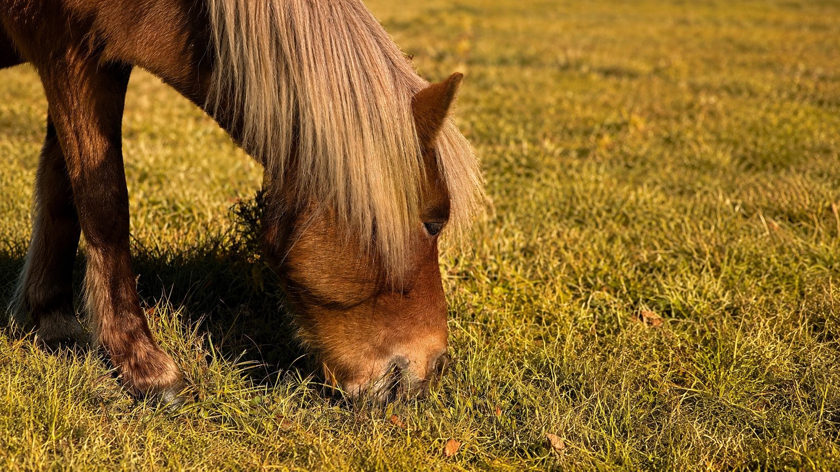
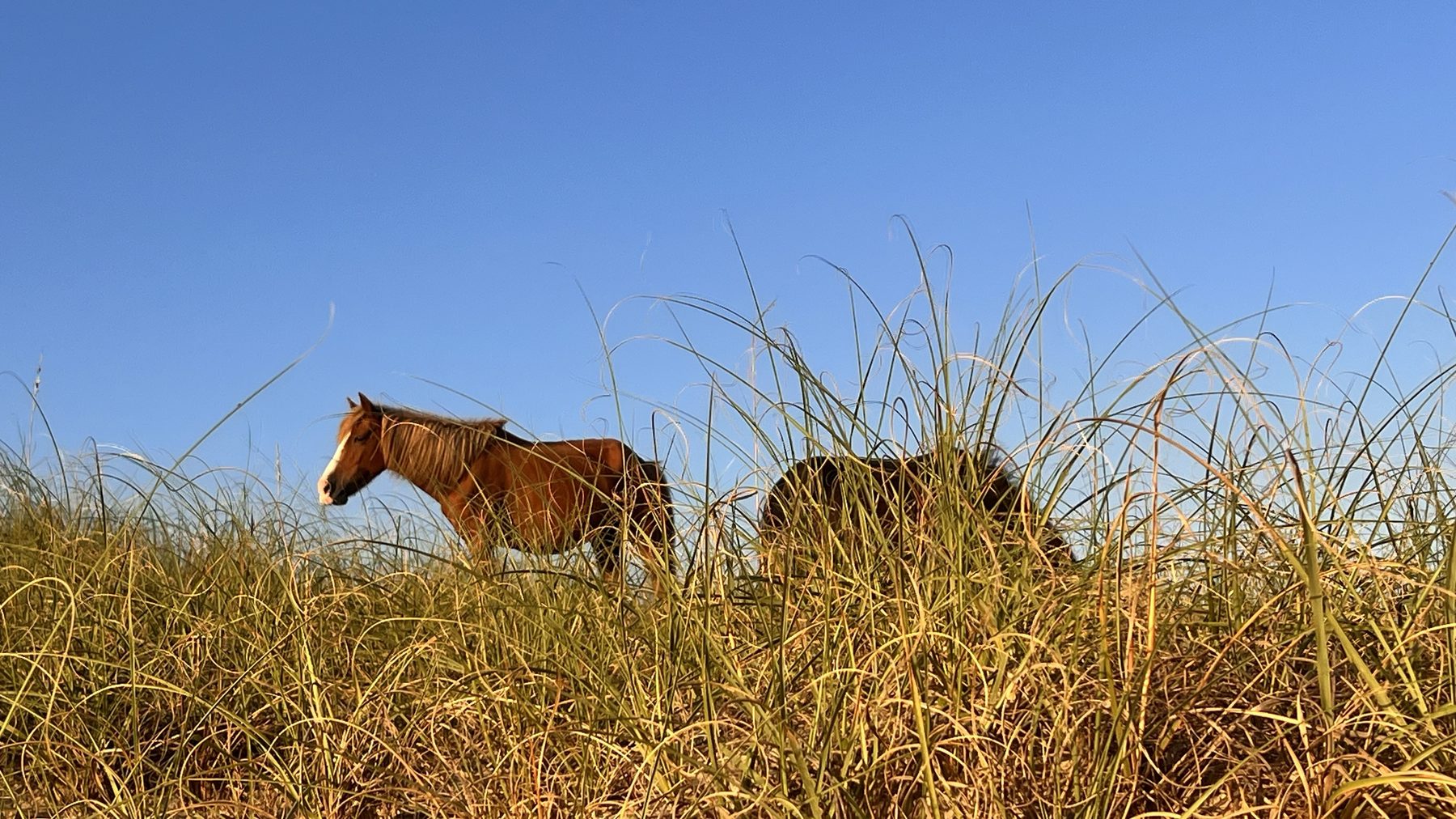
What's left is wild. More than 100 free-roaming "Banker" horses call the island home, believed to descend from old Colonial Spanish stock, though the popular legend of them swimming ashore from a shipwreck is more folklore than confirmed fact. The herd has been federally protected since 1998 and is co-managed by the National Park Service and the nonprofit Foundation for Shackleford Horses. Staying at least 50 feet away, about a school bus length, isn't a suggestion; it's federal law, both for your safety and theirs.
Getting There
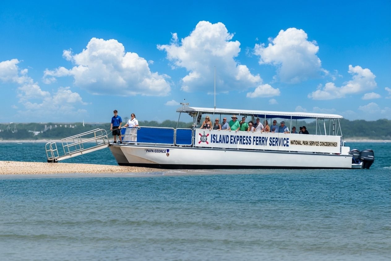
- The only ferry to ShacklefordIsland Express Ferry Service, departing from Beaufort, about 11 miles from the house.
- Crossing timeAbout 20–25 minutes each way, and dolphins turn up on the ride over more often than not.
- On the islandNo vehicles at all. Once you land, everywhere you go is on foot.
- Pair it upAsk about the combo trip that adds on Cape Lookout Lighthouse the same day.
Ferry Schedule
Departures vary by season. Check Island Express Ferry Service directly for current times before you plan the day.
Admission
The island itself is free. The ferry ride is a separate fare, booked directly with the ferry operator.
Island Size
About 9 miles long and less than a mile wide, undeveloped, with no roads, bridges, or structures.
Camping
Allowed anywhere on the island with a free permit from the NPS ranger station on Harkers Island. Primitive: pack in, pack out.
Wild Horses
Over 100 free-roaming Banker ponies. Best viewing tends to be early morning or the hour before sunset. Keep 50 feet back, always.
Shelling & Swimming
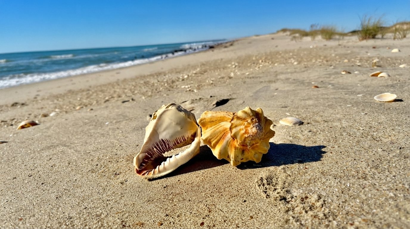
Whelks, sand dollars, and the Scotch Bonnet, North Carolina's state shell. Ocean side has real surf; the sound side is calm and shallow.
Dolphins On The Crossing
Bottlenose dolphins are a regular sight on the ferry ride over, often surfacing right alongside the boat.
Dark Skies
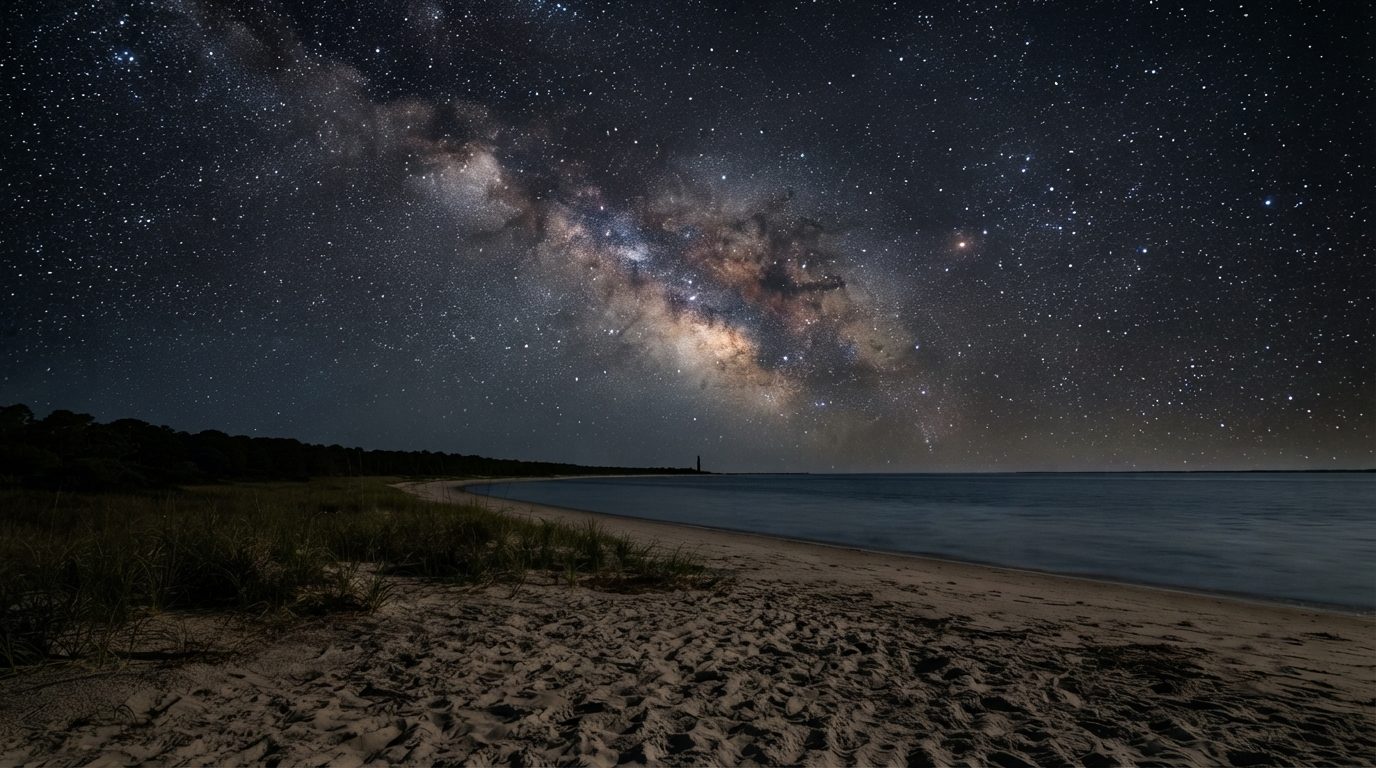
Cape Lookout National Seashore is a certified International Dark Sky Park, the first on the Atlantic coast. Worth the overnight if you camp.
Atlantic Beach
~1–3 Miles · Right Outside Your DoorEverything here is a short walk, bike ride, or drive from the house.
AB Watersports
Jet ski, pontoon, kayak, and paddleboard rentals right on the causeway, plus guided jet ski tours out to Cape Lookout. Deep-sea and inshore fishing charters also run daily out of Atlantic Beach’s marinas.
Atlantic Beach Town Park
A family-friendly park just off The Circle with mini golf, a splash pad, a skate park, and a basketball court. Catch the free Friday-night summer movie series on the lawn in season.
Champions of Atlantic Beach
A full-service gym right on Fort Macon Road: cardio, free weights, and group fitness classes, all indoors. Day and week passes are available for visitors.
Hoop Pole Creek Nature Trail
An easy 1-mile round-trip walk through maritime forest to a salt marsh overlook, mostly boardwalk and paved trail. A nice option for young kids or anyone who wants shade over sand for an hour.
Oceanana Pier
A working fishing pier since 1959, stretching nearly 1,000 feet into the Atlantic. Great for pier fishing, sunrise or sunset walks, or a meal at the Pier House Restaurant overlooking the water.
The Circle & Boardwalk
The heart of Atlantic Beach: a small, charming boardwalk with beach access, playgrounds, volleyball courts, outdoor showers, and a cluster of shops and eateries right on the sand.
Capt. Stacy Fishing Center
Deep-sea and offshore fishing out of Atlantic Beach for over 60 years, including headboat trips for snapper, grouper, and sea bass.
Fisherman’s Inn Charters
Inshore fishing and scuba diving charters aboard Captain Al’s Mutiny II, docked right on the causeway.
Pelagic Sportfishing
Owner-operated offshore charters aboard a 61-foot boat, chasing tuna, wahoo, and billfish in the Gulf Stream, plus nearshore half-day trips.
AB Bike & Beach Rentals
E-bikes, beach chairs, umbrellas, surfboards, and shibumis, delivered or ready to grab and go. “Visit the beach, leave the gear to us.”
70 East Custom Carts AB
Golf cart rentals for cruising around town, with a wide selection of clean, well-maintained carts.
The Beauty Barge
Private boat charters out on the water, right from the causeway: a relaxed way to see the sound and coastline without the crowds.
Pine Knoll Shores
~5 Miles · ~12 MinA short drive down Bogue Banks brings you to the Crystal Coast’s best-known attraction. Plus quieter nature spots next door to it.
Aquarium Kayak & Paddle Programs
Guided kayak and stand-up paddleboard trips through the calm sound-side waters around Pine Knoll Shores, led by aquarium educators. Scheduled seasonally; spots fill fast in summer.
NC Aquarium at Pine Knoll Shores
A “mountains to the sea” journey through North Carolina’s aquatic habitats: river otters, a stingray touch tank, sharks, and rare sea turtles. Fully indoor and built for a rainy day, with an outdoor nature trail along the marsh for sunny visits too. Budget around two hours.
Theodore Roosevelt Natural Area
A quiet maritime forest preserve right next to the aquarium, with walking trails through one of the last undisturbed stretches of woods on Bogue Banks.
Salter Path & Indian Beach
~7–8 Miles · ~15–17 MinA small, low-key stretch of Bogue Banks with a couple of worthwhile stops.
Professor Hacker’s Lost Treasure Golf & Raceway
A pirate-themed mini golf course and go-kart track: 36 holes across two courses, plus bumper boats and an arcade. A reliable hit with kids.
Public Beach Access
Salter Path and Indian Beach have their own quieter public beach accesses if you want a change of scenery from Atlantic Beach’s more crowded stretches.
Morehead City
~7–8 Miles · ~15–17 MinThe largest town on the Crystal Coast, with a working waterfront and indoor options for a gray day.
Atlantic Station Cinema
A small, family-friendly movie theater right in Atlantic Beach. No need to leave the island for a matinee.
Charter Fishing & Diving
Morehead City’s docks are a launch point for half- and full-day charter fishing in the Gulf Stream, plus wreck diving. Several independent operators run out of the waterfront.
Escape Rooms & Laser Tag
Game On Escape Rooms offers themed puzzle rooms for ages 10 and up, while Battle Works combines laser tag, axe throwing, and nerf wars. Both in the Morehead City area.
The Waterfront
A scenic stretch along Bogue Sound with docks, boat tours, and dive charters. Watch the day’s catch come in, or just stroll and take in the sunset over the water.
Wine & Design
A paint-and-sip studio with a rotating calendar of guided art classes, from canvas painting to stained glass and candle making. A fun rainy-day option or girls’-night-out pick.
Beaufort & Shackleford Banks
~11–13 Miles · ~21–25 MinOne of North Carolina’s oldest towns, and the jumping-off point for the Crystal Coast’s wild horses.
Beaufort Historic Site
A two-acre collection of restored 18th- and 19th-century buildings in the heart of downtown, with costumed-interpreter guided tours through Beaufort’s early history.
Historic Front Street
A picturesque waterfront promenade along Taylor Creek lined with boutiques, galleries, and restaurants. Plus a good chance of spotting wild horses grazing across the water on the Rachel Carson Reserve.
NC Maritime Museum
Free exhibits on coastal life, shipwrecks, and lifesaving stations: including the official collection of artifacts recovered from Blackbeard’s flagship, Queen Anne’s Revenge.
Island Express Ferry Service
The only ferry authorized to drop off at Cape Lookout Lighthouse and Shackleford Banks, departing from Beaufort and Harkers Island. Also offers UTV rentals on Cape Lookout and special sunset and dolphin-watching cruises.
Island Ferry Adventures
A different set of docks than Island Express: this ferry runs to Bird Shoal Beach, Carrot Island, and Sand Dollar Island in the Rachel Carson Reserve, all uninhabited and great for shelling, swimming, and spotting wild horses.
Beaufort Pirates Revenge
A family-friendly pirate cruise aboard the Revenge, a 40-foot replica ship, with sword fights, sing-alongs, and water cannon battles for treasure. A seasonal Ghost Float haunted cruise runs after dark.
Emerald Isle
~17–19 Miles · ~30–32 MinThe western end of Bogue Banks, with some of the widest beaches on the island.
Bogue Inlet Fishing Pier
A 1,000-foot pier at the west end of the island: a solid spot for black drum, red drum, Spanish mackerel, and an easy way to spend an afternoon without a boat.
Bowling & Arcade
Mac Daddy’s in Emerald Isle rounds out the indoor-entertainment options with bowling, an arcade, and a sports bar: a good pick for a group with mixed ages.
Emerald Isle Woods Park
A 41-acre nature preserve with trails through maritime forest, boardwalk access and a kayak launch on Bogue Sound, picnic areas, and a 9-hole disc golf course. Dog-friendly.
Emerald Plantation Cinema
Emerald Isle’s own hometown theater: a locally owned, small-screen alternative on the west end of the island.
The Point
One of the biggest and prettiest beaches on Bogue Banks, at the far western tip of Emerald Isle. Beach driving is allowed with a permit during certain seasons: a favorite spot for sunset.
Distances are estimated driving distance from 205 Barefoot Lane and will vary a bit with traffic and exact route: a GPS app will get you the precise number. Hours, fees, ferry schedules, and even websites and phone numbers for small local businesses can change; we’ve verified what’s listed here as of this writing, but it’s worth a quick check before you head out. See our Shopping guide for boutiques and gift shops, and Where To Eat & Drink for coffee, bars, and restaurants. Have a favorite spot we should add? Let us know.